During the summer months, the people of Novi Sad spend a lot of time on and around the Danube, the river about which so many songs have been sung. Novi Sad may not be the largest European city on the Danube, but it is one of those with the most bridges on it – eleven in total. Of these, eight bridges are located below and three above this river, which is proof of its stormy past. The Danube connects different European countries and cultures that have influenced each other for centuries and mingled in Novi Sad, and this river also represents a specific natural entity and an oasis of freshness during hot summer days. As part of The Danube Sea, the European Capital of Culture programme, we combine art and ecology, pointing out hot environmental topics as well as the manifold importance of preserving the Danube, one of the most important European links.
A River That United and Separated Nations
The Danube is the most important European river and represents the European traffic Corridor 7 (also known as the Danube Corridor). It is the lifeblood of the European continent, a river that separated and united peoples, states, civilisations, cultures, and traditions. With an incredible length of 3505 km of waterway, it connects the Atlantic and the Mediterranean (via the Bavarian Canal), bridging the west and the east of Europe. This is the busiest waterway in Europe, which has always had important strategic, economic, and cultural significance. Today it runs or forms the border of ten countries: Germany, Austria, Slovakia, Hungary, Croatia, Serbia, Romania, Bulgaria, Moldova, and Ukraine. There are four state capitals on the banks of the Danube: Vienna, Bratislava, Budapest, and Belgrade.
The course of the Danube is 2850 km long, which makes it the second largest European river. The Danube basin is divided into three physical-geographic areas: the Upper or Alpine Danube Basin, the Middle or Pannonian Danube Basin, and the Lower or Wallachian-Pontic Basin. At the confluence with the Black Sea, the Danube creates a delta of 5500 km2, with three larger branches. The Danube Delta is a protected natural region, declared a world heritage site by UNESCO in 1991. Since 2004, International Danube Day is celebrated on 29 June.
The Danube is the River with the Most Names
The first written record of the Danube comes from Herodotus in the 5th century BC. The ancient Greeks, who knew only the lower course of the river, called it Ister, and the entire length of Danube Histros or Histri. The Romans used the names Danubius for the upper course (from the source to the mouth of the Sava) and Istros or Ister for the middle and lower course. The name Danube itself most likely comes from the Celtic language, in which it reads Danuv, which means ‘river’. There are other opinions. The Danube originates from two smaller rivers, Breg and Brigach, which join near the town of Donaueschingen, so the monographic records of this town say that this is where the name Donau comes from. However, on a marble tablet that is much older than the monographic records, which is located at the very source of the Brigach River, it says ‘Caput Danubii’, i.e., ‘Head of the Danube’. By the way, in Donaueschingen, there is a fountain from the 19th century, called ‘Donauquelle’, which symbolises the official source of the river. Serbs, Croats, and Bulgarians use the name Dunav, while Russians, Czechs, Slovaks, and Slovenians say Dunaj. The Hungarians say Duna the Romanians Dunarea, the Italians Danubo, the French le Danube, the English Danube, the Germans and Austrians Donau, and the Turks Tuna.
The Danube as the Border of Empires
The Danube Valley, as the natural and shortest connection between Western Europe and the Orient, was the direction of numerous migrations and invasions. It was never easy to cross it, especially in the middle Danube, where it used to be as wide and big as the sea. In the past, the Danube represented the northern border of the Roman Empire, i.e., the natural border between Roman and barbarian lands or, as they said, the border between civilisation and barbarism. During the reign of the emperors Diocletian and Constantine, the large-scale construction of fortifications along the Danube Limes began. From Singidunum to the Danube Delta, around 160 small and large fortresses were built. Emperor Justinian created the strongest possible line of defence on the Danube against attackers from all over Europe. The Romans built the fortress Cusum in the area between today’s Petrovaradin and Sremska Kamenica. At that time, there was an observation post for the fortified Roman border of Limes on the Petrovaradin Rock, which resisted the attacks of various invaders. With well-organised signalling, a short message from these parts would be received in Rome in just an hour and a half. Later, the Danube was the border between the Habsburg and Ottoman Empires. From that time, once large defensive fortresses remain on the Danube, which delight visitors today. These are Bačka Fortress (which is not directly located on the Danube, but in its immediate vicinity), Petrovaradin, Belgrade, Smederev, Ram, Golubac, and Fetislam Fortress (or the city of Kladovo)
Potential for Tourism
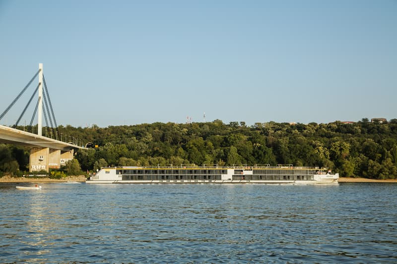
The Danube region has been a famous wine-growing region for more than 2,000 years. Therefore, Danube wine tours are organised today in renovated and renovated wine cellars and wineries. In Vojvodina, Fruška Gora, which is in the immediate vicinity of the Danube, is a special attraction. All this makes the great tourism potential of this region. Along the Danube, sustainable bicycle tourism is promoted, in which several regions can participate. The Danube is the most popular river in the world for river cruises.
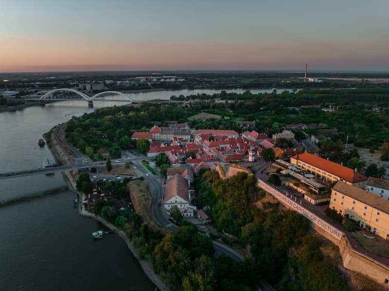
Novi Sad Sea
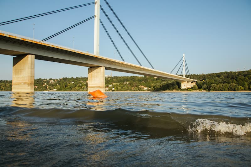
The Danube flows through Serbia with a length of 588 km. It passes through the plain of Vojvodina and the Fruška Gora and Đerdap national parks. Novi Sad lies on its banks, between 1252. and 1262. kilometres of the river’s course. Here, the Danube is narrowest, only 220 meters wide. From the very beginning, the city of Novi Sad was connected to the Danube. In the coat of arms of the free royal town of Novi Sad from 1748, there is a depiction of a wavy Danube crossing a green field, above which Noah’s Dove flutters. The city descends on the river with its oldest streets, but also with new city districts, promenades, beaches, and numerous weekend settlements… For those from Novi Sad, the Danube is their sea. During the hot summer days, the whole city descends on the city beaches or on the nearby river islands. The most visited, of course, is Novi Sad’s Štrand beach, where we strongly recommend that you visit the Štrand Pavilion this weekend and enjoy the cultural events of the European Capital of Culture.
Author: Ljiljana Dragosavljević Savin, MSc, historian
Photo: Jelena Ivanović, Marko Pudić